Item added to cart Check Out

NATIONAL HIGHWAY MAP
THE ROAD UNFOLDS IN FRONT OF YOU
Every Glove Compartment Needs One

Item added to cart!
Keep shopping or check
out now.
These Pair Nicely

Every Which Way
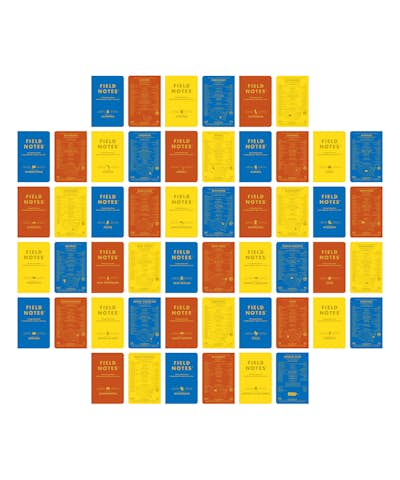
Alongside our Spring release, the “Mile Marker” Edition, a 3-Pack of Memo Books celebrating America’s Dwight D. Eisenhower System of Interstate and Defense Highways, we are offering an additional item.
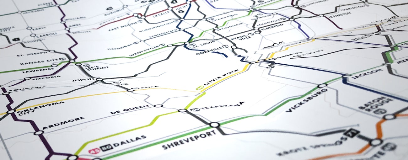
The companion to “Mile Marker” is an old-school gas-station-style, difficult-to-refold-properly, Field Notes National Highway Map. These are available for purchase now, and no self-respecting glove compartment should be without one.
BTW: Year-long subscribers will receive one free with their Spring shipments. (Membership has its privileges, after all.)

This handy 3.5” x 8” map unfolds to 36” x 24.5”. One side features a large, colorful diagram of the continental Interstate System, designed exclusively for Field Notes by Mr. Cameron Booth of Portland, Oregon (2117 driving miles from HQ in Chicago BTW), who implemented a beautiful and thoughtful data design scheme for this project.

The reverse side features 28 panels completely jammed with useful, sorta useful, and some fun-but-not-at-all-useful information. The Map includes a history of the Interstate System, an essential Citizens’ Band radio glossary, mile marker and exit numbering conventions, national traffic control sign design guidelines, a classic “License Plate Game” scorecard, and tons of other helpful and/or arcane information guaranteed to entertain, educate, and/or confuse you on your next big road trip.

SPECIFICATIONS:
- 01.
Proudly printed by the good people of eDOC Communications, Mount Prospect, Ill.
- 02.
Paper: Lynx Opaque Ultra 50#T “White,” with a tightly-registered 4-color application of CMYK process soy-based Toyo inks.
- 03.
Map printed on a Heidelberg Speedmaster XL 105 40" 6-color printing press.
- 04.
Map folded on an MBO T102 40" Continuous Feed Folder with Z6 Knife Folding Unit and SAP-66MR Presser Stacker.
- 05.
Map is highly stylized, not to scale, and should be used only for glove box embellishment, reading material on long road trips, and — in a pinch — very basic wayfinding.
- 06.
Map dimensions are 3-1/2" × 8" (89mm × 203mm) folded and 36" × 24.5" (914mm x 622mm) unfolded.
- 07.
FIELD NOTES uses only the Futura typeface family (Paul Renner, 1927), in collaboration with Monotype.
- 08.
All FIELD NOTES memo books and maps are printed and manufactured in the U.S.A.
- 09.
SKU & UPC: FNC-42a 858493003783


